
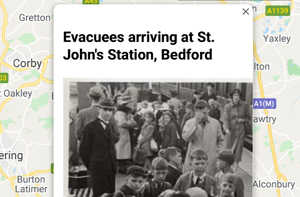
To mark the 75th anniversary of VJDay, an interactive map has been launched to help explore and understand Bedfordshire’s contribution to the war effort.
Bedfordshire Archives are marking the 75th Anniversary of VJ Day and the end of WWII this Saturday (15 August) with the launch of the map to help people to explore some of the varied experiences of the war across the county.
From the memorial to the aircrew who crashed at Yelden in the north, Make Do and Mend at Woburn in the west, the new auxiliary fire service tender at Stotfold in the east and the arrival of evacuees at Bedford St John’s station in the heart of the town, the map has lots to explore.
Each marker gives some detail about the place, and lots give suggestions for exploring the stories further.
Mayor Dave Hodgson said, “With the ongoing coronavirus outbreak, we have not been able to mark the 75th anniversaries of VE Day or VJ Day in the way we would have liked to this year.
“We will be flying the Union Flag at Borough Hall on Saturday 15 August to mark VJ Day, and the launch of this map will be a fascinating way to discover the local stories of World War Two in Bedfordshire.”
You can find this interactive map at here.


